|
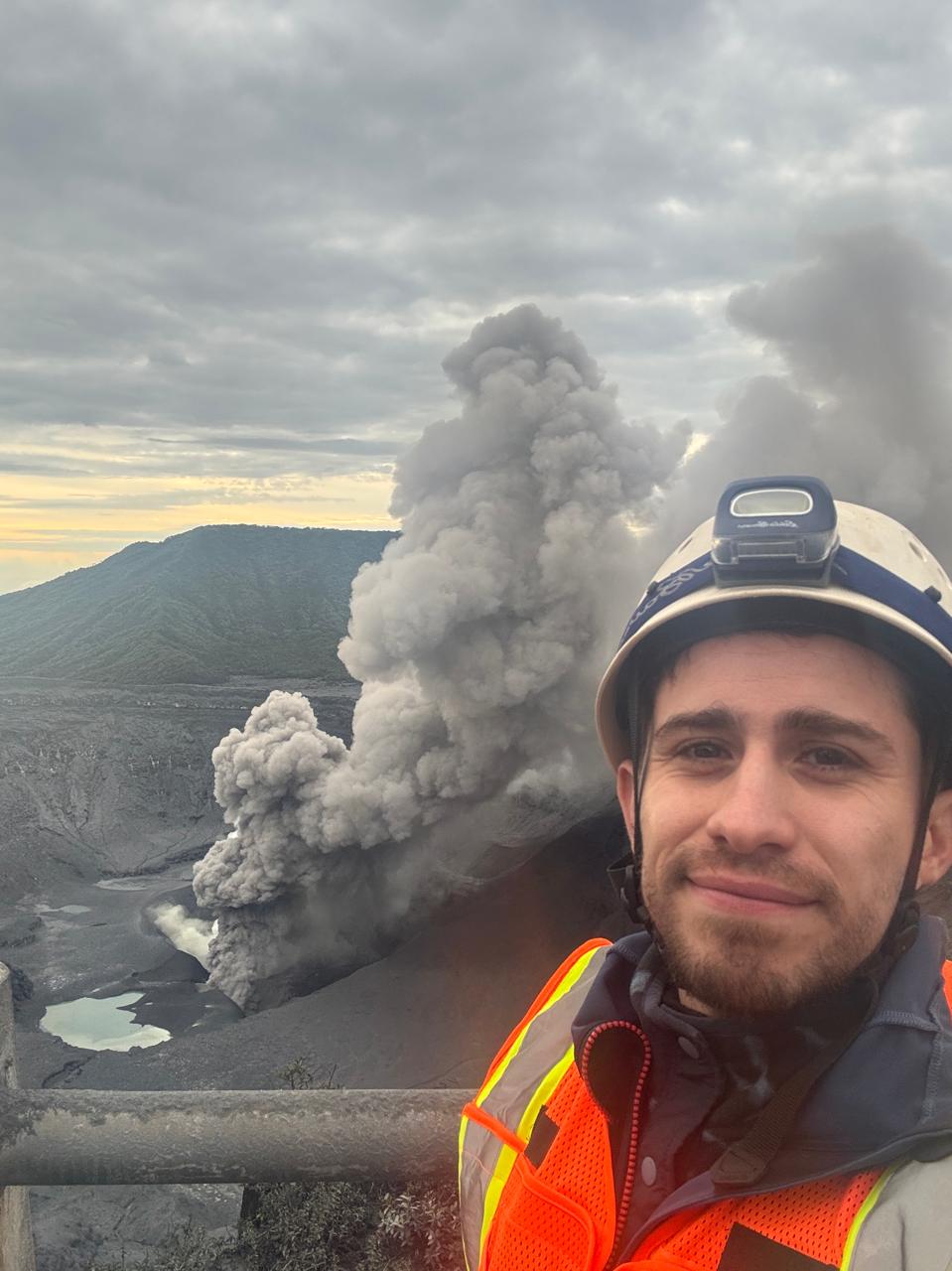
I am a second-year PhD student at McGill University advised by Dr. John Stix. My research focuses on developing remote sensing methods to safely and reliably measure volcanic gas emissions from hazardous active volcanoes. I also combine interdisciplinary datasets — including volcanic gas fluxes, gas ratios, thermal infrared imaging, and photogrammetry — to better understand hydrothermal–magmatic systems and the processes that lead to phreatic eruptions, with the ultimate goal of improving eruption forecasts. I completed my Master's degree in Geology at the State University of New York at Binghamton, where I was advised by Dr. Jeffrey T. Pietras and funded as a Fulbright Scholar. For my undergraduate dissertation I studied the effects of wildfires on soils from the Calamuchita Valley, Argentina. After graduating with a professional degree in Geology from the National University of Cordoba, I worked as a Junior Geologist at Represas Patagonia. In this role, I enjoyed combining field measurements and remote sensing techniques to monitor the stability of the slopes of the Condor Cliff Dam and assess landslide hazards. Outside of the office, you'll find me hiking, swimming, or cooking traditional Argentinian dishes and pastries. Email / CV / Google Scholar / Github |

|
|
|

|
Gustavo Villarruel, Jessica Salas-Navarro, Stefano Caliro, Alessandro Aiuppa, John Stix
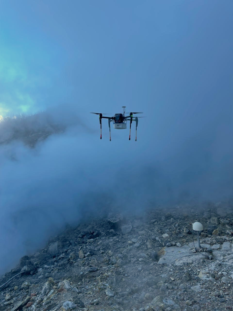
Campi Flegrei is the largest restless caldera in Europe and has shown nearly two decades of unrest. An eruption could directly impact more than three million people living in the surrounding area. Monitoring gas fluxes—particularly CO2, which serves as a proxy for deep magmatic inputs—is therefore critical. However, the hydrothermal system at Campi Flegrei scrubs out SO2, making conventional satellite and ground-based remote sensing techniques unusable for quantifying CO2 output. Traditionally, CO2 fluxes at Campi Flegrei have been measured since 2012 with ground-based MultiGAS instruments, but this method may become impractical as unrest escalates and the crater environment grows more hazardous. To address this challenge, I designed and assembled a miniaturized MultiGAS sensor package capable of measuring CO2, H2O, and H2S, and integrated it into a drone-based system. This allowed us to safely quantify gas fluxes and ratios above the crater. Our results closely matched those from ground-based MultiGAS and direct sampling techniques, confirming the reliability of the drone-based approach. We also found that gas fluxes have declined since 2019, likely reflecting hydrothermal cooling and changes in degassing pathways.Looking forward, scaling up this drone-based methodology as new platforms and payloads become available could transform how we monitor highly hazardous, SO2-free volcanoes worldwide. |
|
|
Gustavo Villarruel, Jeffrey T. Pietras Masters Thesis The Trenton limestones were deposited along with volcanic ash layers in a foreland basin adjacent to the Taconic orogen during the Ordovician. By analyzing the lithology and XRF-based elemental data of five cores from the Mohawk Valley, New York, we performed a paleoenvironmental reconstruction of the carbonate shelf where these limestones and volcanic sediments were deposited. Our interpretations of ten lithofacies, along with a suite of elemental proxy data for bulk mineralogy and paleo-redox conditions, indicate two major flooding events of the carbonate shelf and substantial changes in fault-controlled paleobathymetry and sediment provenance. |

|
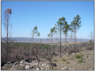
Gustavo Villarruel, Gabriela Sacchi, Vanesa Zampar Published at Journal of the School of Exact, Physical and Natural Sciences of the National University of Cordoba Water repellency is a property with critical implications on soil erosion, and very sensitive to change after wildfires. This research analyzed the physical (water repellency, granulometry, color) and chemical (pH and organic matter) properties of pre- and post- fire soils, as well as soils heated under controlled laboratory conditions. This allowed us to characterize the changes in hydrophobicity that occur with increasing temperature and determine their causes and the soil temperature during the fire event. |
|
|

|
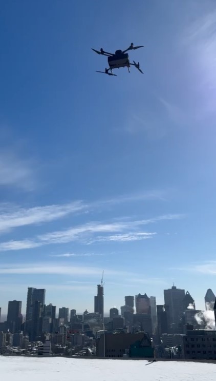
Regina Gonzalez Moguel, Keyvan Ranjbar, Lei Liu, Benjamin Riot—Bretêcher, Beatriz Porto Ghirardi, Jacob Asomaning, Gustavo Villarruel, John Stix, Margaret Kalacska, John Gyakum, Djordje Romanic, Peter Douglas, Yi Huang Urban centers are major sources of anthropogenic carbon dioxide (CO2) and methane (CH4) emissions. Characterizing the spatiotemporal variability of these gases and their sources is essential for developing targeted emission reduction strategies. This study investigates the distribution of CO2 and CH4 mixing ratios and their isotopic compositions over Montreal, Canada, using a combination of aircraft, drone, and ground-based measurements. My role in this project was to leverage drone-based miniaturized gas sensors and samplers to reconstruct vertical profiles (from ground level up to 120 m) of CO2 and CH4 concentrations and isotopic compositions for the Greater Montreal Area, the second largest city in the country. The drone dataset reveals a strong correlation between greenhouse gas emission sources and altitude and suggests that fossil fuel combustion is the dominant contributor. |
|
Website template by Jon Barron |